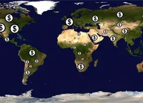
Locating people living in poverty, such as through door-to-door surveys, sometimes is difficult and even dangerous on the African continent, and scientists are now turning to satellite images.
Xinhua News Agency
Showing 0 to 17 of 1 results
 简体中文
简体中文