
ChinaonSaturdaylaunchedthreeGaofen-1imagingsatellitesaspartofthecountry'shigh-definitionearthobservationproject.ThesatelliteswaslaunchedoffonthebackofaLongMarch

Chinawillmakemoreeffortsinspaceremotesensingdevelopmentin2018andprepareforthelaunchofGaofen-7high-resolutionremotesensingsatellite,saiddirectoroftheNationalAdmi
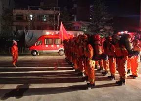
Satellite images show multiple landslides but no major collapse or damage of buildings near the epicenter of a 7.0-magnitude earthquake in southwest China.

Satelliteimagesshowmultiplelandslidesbutnomajorcollapseordamageofbuildingsneartheepicenterofa7.0-magnitudeearthquakeinsouthwestChina.TheInstituteofRemoteSensing
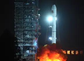
China on Tuesday launched its most sophisticated observation satellite, Gaofen-4, as part of the country's high-definition (HD) earth observation project.
 简体中文
简体中文