简体中文
简体中文

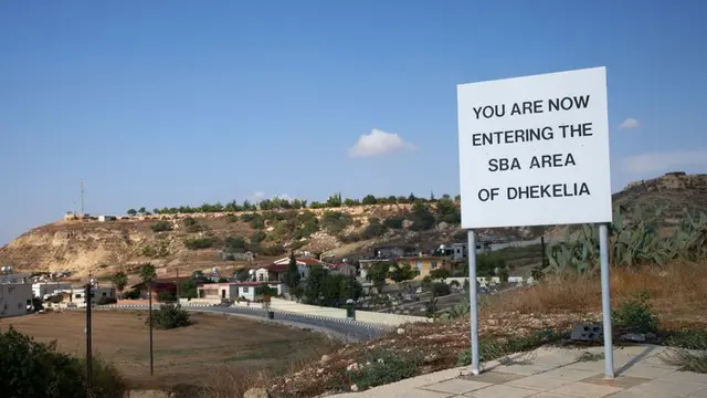
A detailed map of a British military base and installation has been publicly available on a contractor's website for at least two years.
The plans of the British Sovereign Base Area of Dhekelia in Cyprus labelled the locations of generators, diesel tanks, liquid petroleum gas containers and water storage.
The details could provide intruders with enough knowledge to compromise key infrastructure points for the people who live and work there, including the precise layouts of barracks and the site of the ammunition depot.
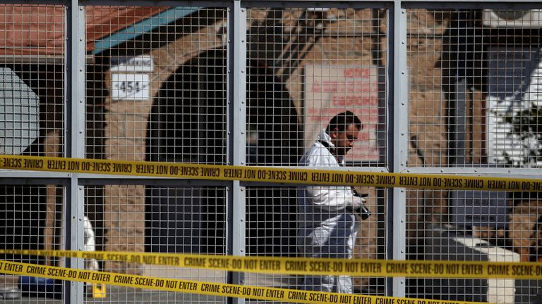
Image:The base was attacked with a grenade in 2017
In 2017 a
grenade was thrown at the entrance
to the Dhekelia base by a man on a motorbike. The small explosion broke a window and didn't injure any personnel.
The map clearly marks how to access to the base's schools and leisure facilities - including sports grounds and swimming pools - which will be of concern for the families of the personnel who inhabit the base.
Dated 30 May 2003, the map was uploaded in June 2018 by ALC, a joint venture set up by engineering firms Babcock and Amey to manage equipment and vehicles for the Royal Engineers and the Royal Logistics Corps.
The Ministry of Defence (MoD) denied that any of the information on the map is "sensitive".
A spokesperson told Sky News: "We take the security of our bases extremely seriously - each one has robust protection measures in place at all times."
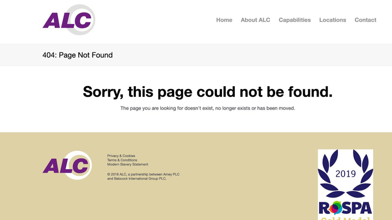
Image:The plans were removed after Sky News contacted ALC
ALC says that its 15-year contract, worth £660m, involves "all branches of the armed services, from senior command levels to soldiers in the field".
The company removed the site plan after it was contacted by Sky News.
A spokesperson for ALC confirmed the map was provided to the company by the MoD in 2005 "to aid deliveries and collections to and from our offices", although none of the other maps on its website include this level of detail.
The spokesperson stated "it is now 17 years out of date so we have removed it and in future we will use Google Maps as this now provides the information required".
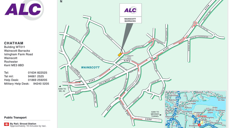
Image:ALC typically uses much less detailed maps on its website
Dhekelia is situated 12 miles (20km) west of popular British tourist destination Ayia Napa and has been recognised as a British Overseas Territory, alongside Akrotiri on the island's southern coast, since Cyprus gained independence from Britain in 1960.
It serves as the headquarters for the Eastern Sovereign Base Area - a site covering 50.5 square miles (131 square km) that contains a garrison or "cantonment" for the British Army.
Currently deployed to Cyprus from the British Army are the 4th Regiment Royal Artillery, the Mercian Regiment and the Princess of Wales's Royal Regiment.
Both bases include support from the Royal Logistics Corps, the Royal Army Medical Corps, the Royal Electrical and Mechanical Engineers and the Royal Military Police.
At the beginning of June 2020, the British and Cypriot governments announced plans to designate some of the unused land across the British bases in Cyprus as "development zones" for the island.